
Autonomy and Robotics Technology Solutions
With the future being autonomous, the public sector must adopt uncrewed and robotics technologies to expedite geographical data and decision-making processes. Autonomous and robotic solutions provide a cost and resource efficient means to gather data and situational awareness while accessing, monitoring and completing tasks remotely.
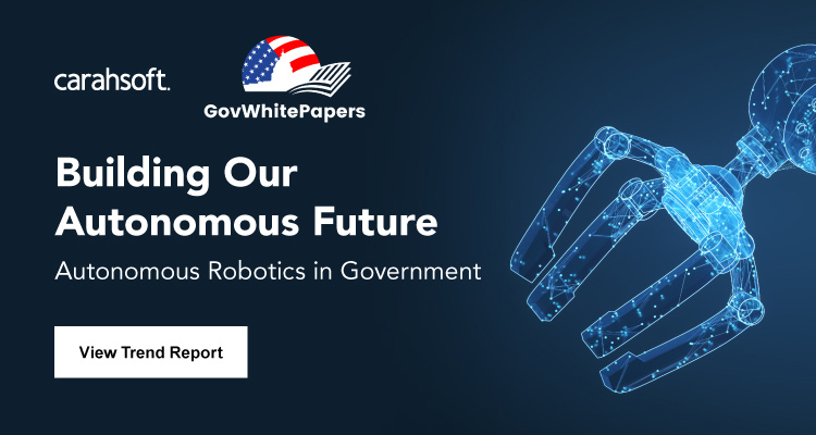

Trusted Autonomous Robotic Solutions for Government
The public sector can efficiently operate in all geographical environments by utilizing innovative technologies to gain real-time data and insight for enhanced decision-making. Learn how autonomous and robotic technologies can optimize agency workflows with:
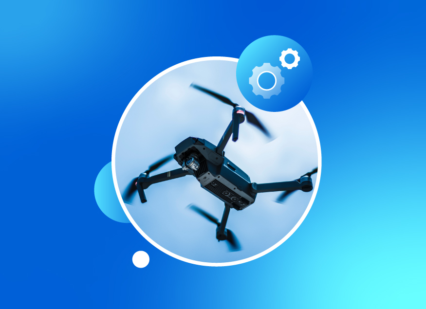
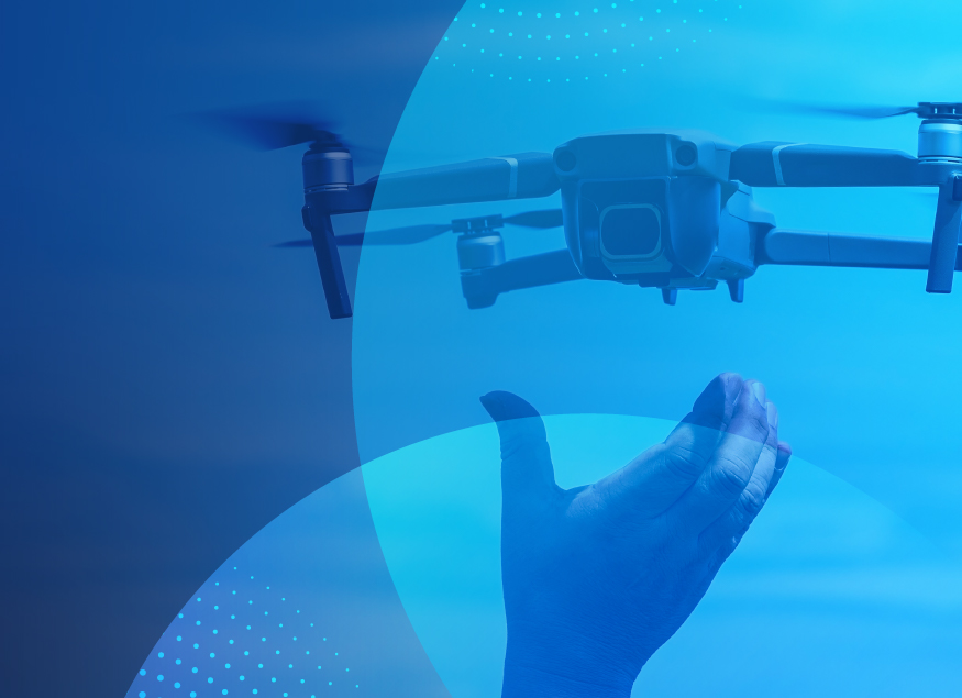
- Drone-in-a-box technology
- Drone monitoring to gain situational awareness
- Robot and sensor solutions
- Visual data analytics and intelligence
- Training and support programs
Explore our innovative autonomy and robotics technology solutions to start optimizing large-scale projects today!
-
 Autonomy & Robotic Technology (32)
All Autonomy & Robotic Technology Vendors

Carahsoft’s Aerospace and Maritime Technologies
Along with Autonomy and Robotics Technology solutions, enhance your air and sea operations with autonomous systems, advanced sensors and real time data tools. Carahsoft’s Aerospace and Maritime solutions integrate seamlessly with autonomy and robotics technologies to improve mission efficiency and decision-making. Explore our Aerospace and Maritime portfolio to learn more.
Trending Topics: Autonomy and Robotics Technology

How Government is Adopting Autonomy, AI and Geospatial Tech – and What It Means for Emerging Technology Businesses
Itential Recognized in Seven 2025 Gartner® Hype Cycle™ Reports for Leadership in Infrastructure Orchestration & Automation
Carahsoft and Solution Partners Exhibiting at Commercial UAV Expo in Las Vegas, September 5-7, 2023

Carahsoft Blogs
-
Top 10 Autonomy and Robotics Events for Government in 2026
April 13th, 2026
Check out Carahsoft's inclusive list of the top Autonomy and Robotics events for 2026 and learn more about our partners' involvement.
- Tagged Autonomy and Robotics Technology, Department of War, drones, Federal Government, Geo Week, GEOINT, Public Safety, Sea-Air-Space, SOF Week
-
The Top Autonomy and Robotics Events for Government in 2025
April 4th, 2025
Industry and Government collaborations enable Carahsoft to offer a comprehensive range of autonomy and robotics technology solutions and services to the Public Sector.
-
Drones Revolutionize First Response: Search & Rescue and Accident Investigations
December 8th, 2023
As regulations evolve and technology continues to advance, drones will play a pivotal role in protecting and defending the public.