

Explore Mapbox's Self-Guided Tours
Mapbox and Carahsoft have partnered together to provide a series of self-guided tours of Mapbox's products and features. Similar to a live demo, the self-guided tours explores how Mapbox's products and features applies to a specific technology vertical such as Geospatial.
Learn about Mapbox's benefits, watch a short pre-recorded demo video, and download related resources. If interested in furthering the conversation, you can also schedule a live demo with a Mapbox expert from Carahsoft. Start a Self-Guided Tour now by selecting one below:

Mapbox Geospatial Self-Guided Tour
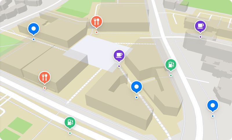
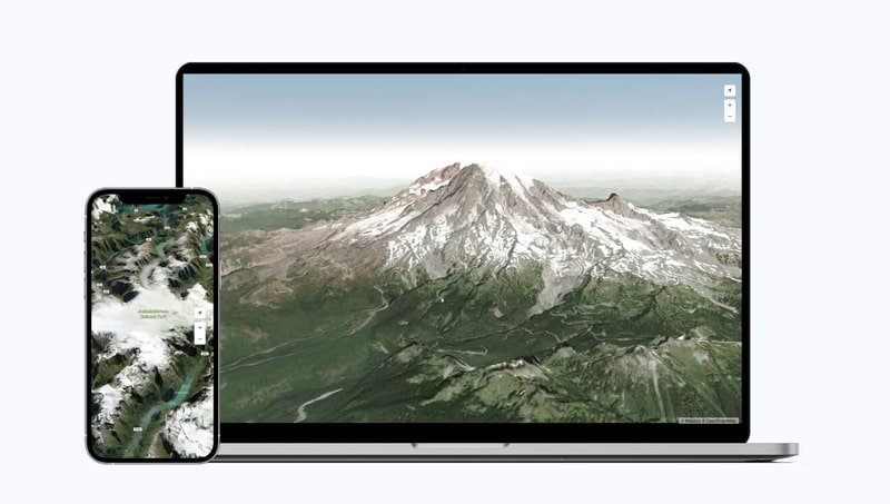
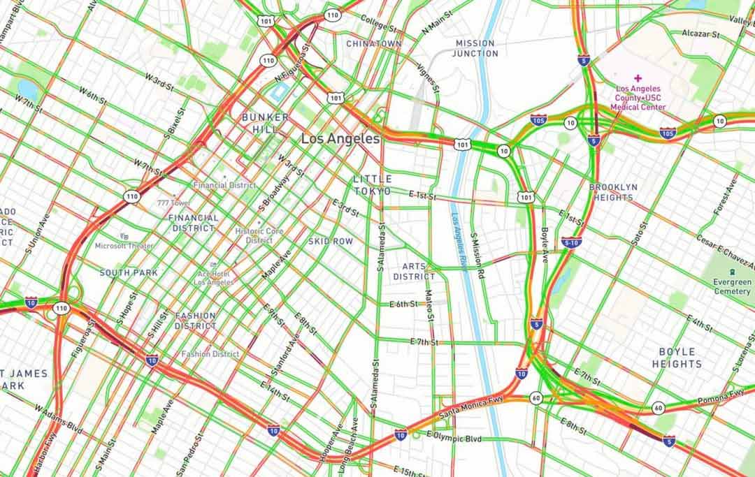
Mapbox provides customizable mapping and location-based services that enable Government agencies to visualize data, analyze spatial trends and enhance decision-making across various sectors, such as urban planning, transportation, emergency management and environmental monitoring. Through Mapbox's platform, agencies can create tailored mapping solutions, integrate geospatial data into their applications, facilitating emergency response and management by quickly mapping disaster areas, coordinating rescue efforts and communicating critical information to the public during emergencies. Mapbox's tools can be used for transportation planning and management to optimize traffic flow, plan public transit routes and assess the impact of infrastructure projects on mobility and accessibility. Agencies can also utilize Mapbox's platform for urban planning and development initiatives, mapping land use patterns, analyzing population density and visualizing proposed development projects to inform decision-making and community engagement processes.
Want to learn more about Mapbox?
Start a self-guided demo to learn how to utilize the power of location intelligence.

Mapbox’s Benefits Snapshot:
-
Mapping solutions that can be tailored to specific agency needs, such as interactive web maps or mobile apps that visualize infrastructure, demographics and environmental data.
-
Tools that analyze geospatial data and provide insights into traffic patterns, environmental changes and the impact of urban development projects.
-
Identify areas of need, allocate resources more effectively and measure the impact of policies over time with visualized data on public health, education and social services.