AVAILABLE 24x7
888.662.2724
AVAILABLE 24x7
(888) 66CARAH
Fast & Accurate
Request A Quote
Quick Response
Chat With Us

Carahsoft, in conjunction with its vendor partners, sponsors hundreds of events each year, ranging from webcasts and tradeshows to executive roundtables and technology forums.
Government Events and Resources
Events

Black Duck
AFCEA West 2025
Event Date: January 28, 2025 - January 30, 2025
Hosted By: Black Duck & Carahsoft
Hosted By: Black Duck & Carahsoft
Black Duck exhibited at Booth #4215 in the Carahsoft Pavillion at AFCEA WEST 2025, held on January 28 - 30 at the San Diego Convention Center located in San Diego, California.
AFCEA WEST 2025 provided a unique opportunity to learn, forge connections and participate in critical conversations shaping the future of maritime defense. Attendees had the chance to:
- Engage with leaders from Marine Corps, Navy and Coast Guard, along with industry and academic experts
- Participate in discussions focused on overcoming complex and rapidly changing threats facing maritime operations
- Discover the latest platforms, technologies and advances capabilities necessary for maritime defense
Resources
Article
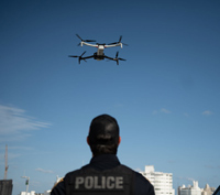
Drawing from the late 2024 drone sightings in New Jersey, this article highlights critical issues, such as the need for enhanced drone education and training among officers, the importance of clear legal frameworks, and the necessity for effective public communication strategies. By addressing these...
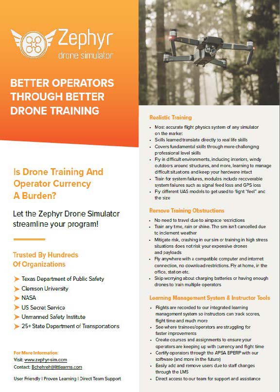
Learn how to improve the operations of your drones using the Zephyr Drone Simulator. Zephyr provides realistic training consistent that covers fundamental skills why removing training obstructions such as weather and access to sufficient materials.
Blog
Mapbox just updated their imagery layer with improved satellite data for zoom levels 8 - 12, creating a more current and better-looking map for large-scale visualizations. Whether you’re tracking a flight, looking at incoming weather, or adding depth to a BI application, this medium resolution updat...
Mapbox just completed the refresh of 135 million km² of satellite imagery, including fresh 9.8M km² of 50 cm imagery across the United States. Combined with 3D maps and the new GL JS v2, the Grand Canyon, Yosemite, the Great Smoky Mountains, or the Badlands can be viewed in stunning, high resolution...
Case Study
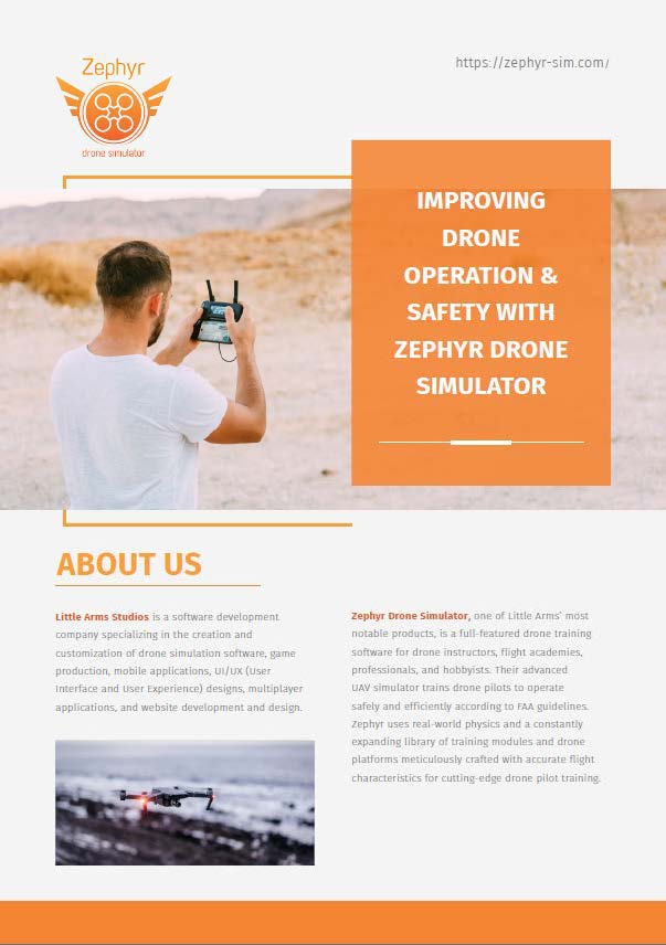
This case study details the challenges of traditional in-person drone training, the benefits of Zephyr’s virtual training solutions, and their applications in academia, professional fields, and specific projects like the Federal Highway Administration’s bridge inspection module.
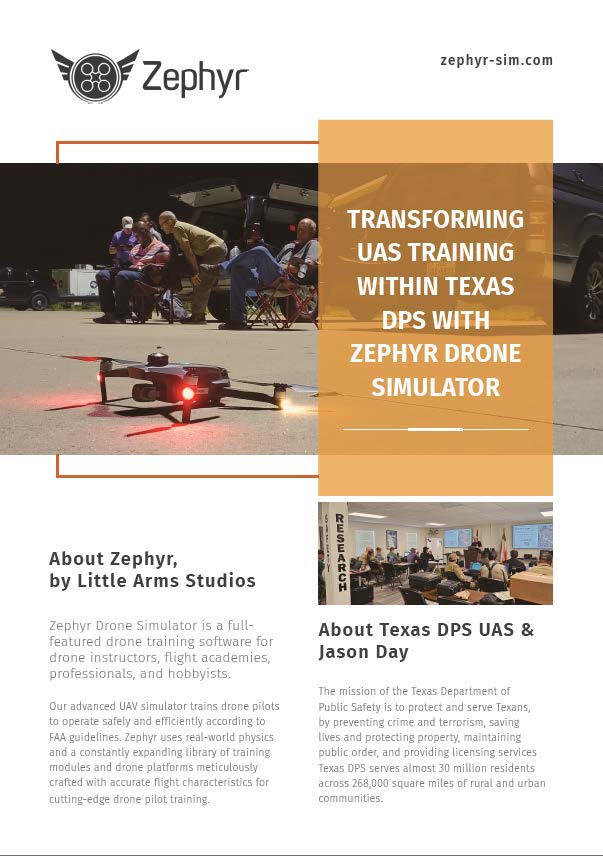
Read this case study to discover how the Zephyr Drone Simulator helped the Texas DPS greatly improve their training outcomes. The training shortened the learning curve for new pilots, allowing them to get through their mission-based training quicker.
Datasheet
The Black Swift E2™ UAS facilitates highly
accurate up-close inspections of infrastructures with its advanced navigation
technology. With its forward mounting payload, the Black Swift E2 UAS is
designed to carry its payload up front, enabling operators to get full
field-of-view.
eBook

Learn how Airworks' Deep Learning AI makes sense of remote sensing data.
Podcast

Commercial UAV News interviewed with Naya Choi, Director of Product Marketing at Qii.AI, who specializes in end user experiences and end user interfaces, about why putting human-centric design at the center of an product development is integral to avoiding the pitfalls that leads to creating a produ...
Product Brief
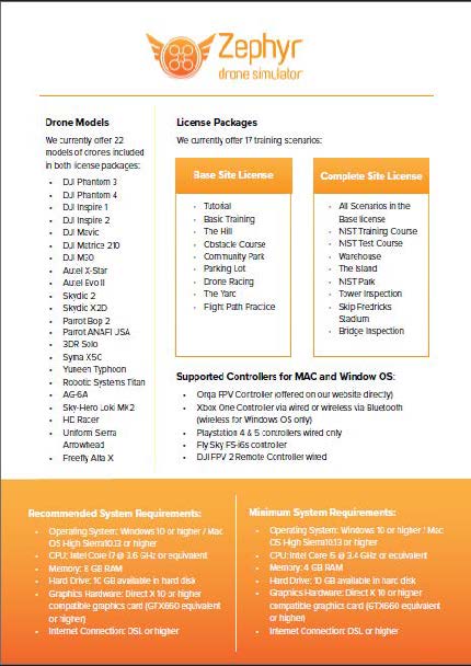
Read this document for an overview of the Zephyr Enterprise drone training software, detailing its features, supported hardware, and training scenarios. It highlights system requirements, drone models, and licensing options, emphasizing its utility for professional and educational drone training.