Carahsoft, in conjunction with its vendor partners, sponsors hundreds of events each year, ranging from webcasts and tradeshows to executive roundtables and technology forums.
Government Events and Resources
Events

How to Increase Operational Efficiencies and Save Money with Aerial Imagery
Hosted By: Nearmap & Carahsoft
View the on-demand webinar where Nearmap demonstrates how government entities have used imagery (and derived geospatial content) to support economic and community growth, infrastructure management, and public safety (specifically disaster planning and response).
Specifically, this webinar will teach you how to:
- Identify areas where aerial imagery can help save time and money
- Articulate the strengths and weaknesses of various geospatial tools and datasets
- Describe how different departments benefit from geospatial tools
- Begin to formulate a geospatial strategy for your organization
View the on-demand recording now to learn more about how Nearmap provides easy access to high-resolution aerial imagery, city-scale 3D content, AI data sets, and geospatial tools that can help government entities gain greater situational awareness, track ongoing projects in near real-time, and improve cross-departmental communication.
Fill out the form below to view this archived event.
Resources

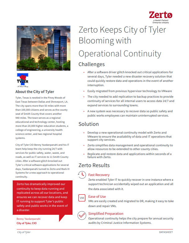
Zerto Keeps City of Tyler Blooming with Operational Continuity
See how Zerto dramatically improved Tyler’s continuity to keep data running and replicate it across all locations, and ensures they can recover data and keep IT running to support Tyler’s public safety and public works in the event of a disaster.
Fill out the form below to view this Resource.
