SharinPix for CRM
SharinPix enables pro photo usage for your Salesforce users by giving you access to a business-oriented image toolbox and unlimited photo storage at a fixed cost.
Using photos in Salesforce? SharinPix has everything you need!
Unlock all the image features you’ve ever dreamed of, plus 30+ components to build the perfect user experience. You no longer need to leave Salesforce to edit, resize, annotate, watermark, and more.
Even better, from your mobile device, you can work offline on our inspection application to snap pictures, dictate comments, scan docs, and fill in offline forms based on a PDF.
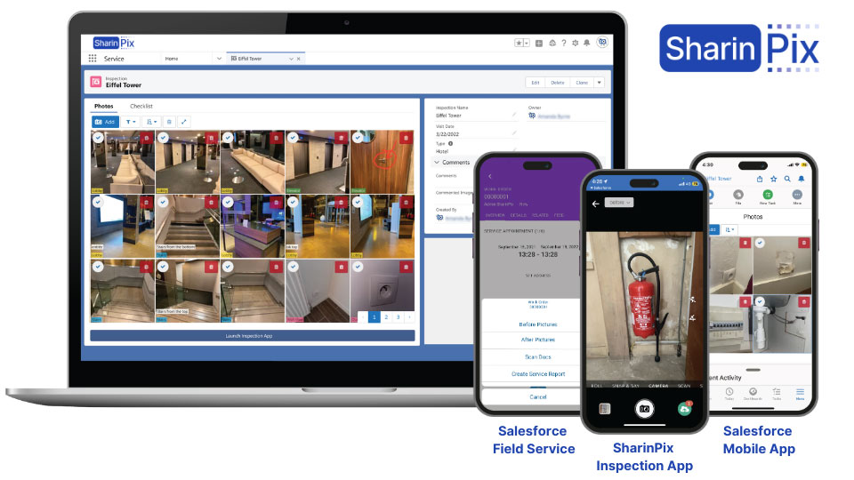

Lean on your field employees’ mobile habits with seamless Salesforce integration
Empower your field staff with Salesforce-embedded, SharinPix-powered mobile tools that they are already familiar with using. Collect information by snapping photos, scanning documents, filling out forms, and gathering signatures.
Use cases: photo checklists for field service, offline field surveys, electronic signatures, an end-of-job checklist with before-and-after pictures, status reports, document scanning, and more.
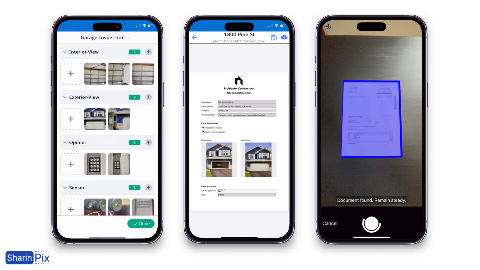

Build interactive offline forms from PDFs in a few clicks
Use a custom offline form based on a PDF to enter information from the field, including images snapped directly from the camera, sketching, and signatures. Everything you add to the form is uploaded as a PDF on Salesforce and saved as values in Salesforce fields.
Use cases: offline field surveys, electronic signatures, an end-of-job checklist with before-and-after pictures, status reports, and more.


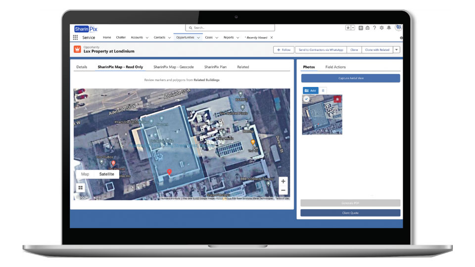
Capture annotated aerial views within Salesforce
You don’t have to leave Salesforce to interact with maps and snap aerial views. Linked to an address in Salesforce, the maps can be used to calculate areas, make measurements, and more. All actions and data are saved into Salesforce Fields. The captured aerial view can be used in documents and emails with the basic SharinPix photo implementation.
Use cases: Solar, roofing, landscaping, construction, parks and recreation planning, and more.

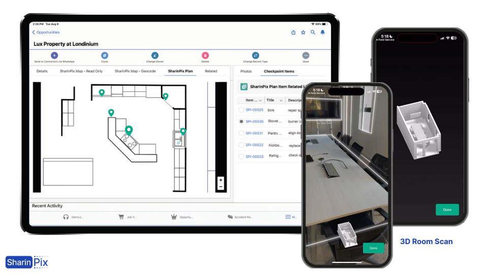
Place remarks on any floorplan or blueprint & Create floor plans from a 3D scan
From a PDF version of your technical visuals, change them into interactive plans. From there, you can add auto-numbered remarks and place them at the right location on the plan. Each remark is highly customizable with your own set of fields and can also hold photos. Using the interactive list, you can have a global overview and click on any item to highlight it on the plan. You can even scan a room to create a 3D floor plan, from which you can extract measurement data and convert it to a 2D floor plan for markups.
Use cases: construction, emergency preparation, operations readiness, and property management.
